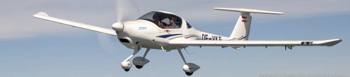
Garmin GTX 345 R Question
Moderators: Rick, Lance Murray
-
wmbjenkins

- 2 Diamonds Member

- Posts: 12
- Joined: Mon Dec 02, 2019 3:41 pm
- First Name: William
- Aircraft Type: DA40
- Aircraft Registration: N379DS
- Airports: KFDW KSGJ
- Has thanked: 6 times
- Been thanked: 3 times
Garmin GTX 345 R Question
Hi there. I am a new DA40 owner based at KSGJ in northeast Florida. I have just installed a new Garmin 345R that mates superbly with the G1000 system except that I seem to be getting an overwhelming number of aircraft showing up on the screen, to the point it almost makes the display useless. The simple question is this; is there a way to "fine tune" the reporting feature of the the 345 such that I am only getting aircraft reports within a specified altitude range? I would love to narrow that range down somewhat so that the information shown is more useful and less cluttered.
-
smoss
- 5 Diamonds Member

- Posts: 744
- Joined: Sun Dec 12, 2010 12:18 am
- First Name: Steve
- Aircraft Type: DA40
- Airports: KVGT
- Has thanked: 58 times
- Been thanked: 134 times
Re: Garmin GTX 345 R Question
go to the map group on the MFD, go to the traffic map, then there is a menu selection for all, normal, above, or below (I think). The normal option filters off all the irrelevant traffic.
Steve
DA40 XL
DA40 XL
-
Boatguy

- 5 Diamonds Member
- Posts: 1866
- Joined: Mon Jan 22, 2018 4:48 am
- First Name: Russ
- Aircraft Type: DA62
- Aircraft Registration: N962M
- Airports: KSTS
- Has thanked: 1366 times
- Been thanked: 1196 times
Re: Garmin GTX 345 R Question
Above: Displays Other Non-Threat and proximity traffic from 9000 feet above the aircraft to 2700 feet
below the aircraft. Typically used during climb phase of flight.
• Normal: Displays Other Non-Threat and proximity traffic from 2700 feet above the aircraft to 2700 feet
below the aircraft. Typically used during enroute phase of flight.
• Below: Displays Other Non-Threat and proximity traffic from 2700 feet above the aircraft to 9000 feet
below the aircraft. Typically used during descent phase of flight.
• UNREST (unrestricted): All traffic is displayed from 9900 feet above and 9900 feet below the aircraft.
-
wmbjenkins
- 2 Diamonds Member
- Posts: 12
- Joined: Mon Dec 02, 2019 3:41 pm
- First Name: William
- Aircraft Type: DA40
- Aircraft Registration: N379DS
- Airports: KFDW KSGJ
- Has thanked: 6 times
- Been thanked: 3 times
Re: Garmin GTX 345 R Question
Thanks so much for the quick responses. The 345 must be in unrestricted mode since that correlates with the data seen on the screen. Thanks again!
-
Rick
- 5 Diamonds Member
- Posts: 1575
- Joined: Tue Jul 06, 2010 10:09 pm
- First Name: Rick
- Aircraft Type: DA40
- Aircraft Registration: NONE
- Airports: KROA
- Has thanked: 107 times
- Been thanked: 297 times
Re: Garmin GTX 345 R Question
I have the GXT345R in my DA40 also, and I see aircraft 25,000 or more feet above me - at least in unrestricted mode, and possibly in "above" mode too - I can't remember for sure. By default, mine comes up in NORMAL mode, which is where I leave it unless I'm interested in who is making the contrails overhead! I do wish it would retain the FLT ID setting, though - that seems to default to 'OFF', so no tail numbers until I go to the traffic page and turn it back on every flight...
Roanoke, VA (KROA)
-
wmbjenkins
- 2 Diamonds Member
- Posts: 12
- Joined: Mon Dec 02, 2019 3:41 pm
- First Name: William
- Aircraft Type: DA40
- Aircraft Registration: N379DS
- Airports: KFDW KSGJ
- Has thanked: 6 times
- Been thanked: 3 times
Re: Garmin GTX 345 R Question
Thanks for that, good to know. I cannot seem to find any operator manual for the 345r even though it was just installed at closing. Sure would be helpful.
-
Boatguy
- 5 Diamonds Member
- Posts: 1866
- Joined: Mon Jan 22, 2018 4:48 am
- First Name: Russ
- Aircraft Type: DA62
- Aircraft Registration: N962M
- Airports: KSTS
- Has thanked: 1366 times
- Been thanked: 1196 times
Re: Garmin GTX 345 R Question
Changing the range on the Traffic Map is also useful to limit clutter. I use 12 in climb/descent, 24/40 in cruise, then 2 when on approach.
Attached is the manual for the panel version of the 345, but the Hazard Avoidance section of the G1000 Pilot's Guide is probably more useful.
Attached is the manual for the panel version of the 345, but the Hazard Avoidance section of the G1000 Pilot's Guide is probably more useful.
- Attachments
-
 GTX 345 Transponder.pdf
- (422.21 KiB) Downloaded 66 times
-
wmbjenkins
- 2 Diamonds Member
- Posts: 12
- Joined: Mon Dec 02, 2019 3:41 pm
- First Name: William
- Aircraft Type: DA40
- Aircraft Registration: N379DS
- Airports: KFDW KSGJ
- Has thanked: 6 times
- Been thanked: 3 times
Re: Garmin GTX 345 R Question
Thanks for the PDF of the panel mount version. I have looked all over for the 345R version which has a different software setup but have been wholly unsuccessful in finding it on-line. Surely it exists but must be well hidden  Oh well, it is a wonderful instrument.