Emir,
I’m having a hard time with this plate, as the text is blurred to where I can’t read it. If I understand you correctly, you’re saying that using a DME number displayed in the GPS would have you closer to PRT than you think and therefore descend too soon? The reality is the reverse.
Ignoring difference in measurement uncertainties in the two technologies, if we consider a value “X”, “X” GPS distance will never be closer to the fix than “X” DME. “X” GPS will always be either further from or equal to the position of “X” DME from that fix. This is because DME is always measuring the hypotenuse of a right triangle, whereas GPS is measuring the horizontal side of that same triangle. The linear amount of discrepancy is a function of the angle which the two legs meet and the distances involved. For illustration, I attach part of the plate for a VOR-A approach to KRDM, which has similar characteristics to what I think you’re describing.
Suppose I fly the DME arc using my GNS530. I’m 4900 ft above and ten nm (~60,000 ft.) out from the VOR. But that’s using GPS distance, not slant distance. The angle is about 4.7 deg. Running the calculations, 60,000 ft DME would actually be about 59,800 ft. horizontally. But I’m not using DME and maintaining 60,000 ft. horizontally. Therefore a 200 ft. horizontal difference. Of course both displays only resolve to .1 nm so there is a several-hundred ft. “slop” for either.
Now I turn inbound and descend to 5900 ft. The actual discrepancy would start to climb and peak out around .5-.6 nm at VOR crossover. This is unimportant since crossover happens at flag flip. Now I can descend to 3660. This is roughly 600 ft above the VOR in my illustration (it’s actually less, this VOR is on a hilltop a couple of hundred ft. above field elevation). Was we get to the missed approach point the critical thing is that the angle gets very shallow, about ,94 degrees and the discrepancy drops to about .02%, with my GPS having me arrive at the 6.1 DME missed approach point about 5 ft. further than would 6.1 DME.
You're example might be clearer if I could read the text of the waypoints prior to VOR passage. In any case, the amount of discrepancy is important, driven by the angles at which they occur - a function of distance and altitude. For example, at 2000 ft above and 2 nm you'd be about 170 ft. early. At 90 knots that's about 1.3 seconds or so. Established at 600 FPM descent,that'd be maybe 15 ft.
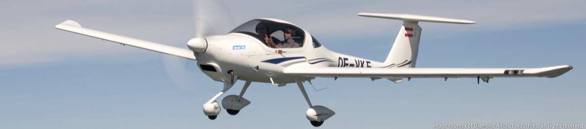
2002 DA40-180: MT, PowerFlow, 530W/430W, KAP140, ext. baggage, 1090 ES out, 2646 MTOW, 40gal., Surefly, Flightstream 210, Orion 600 LED, XeVision, Aspen E5