CBeak wrote: ↑Tue May 12, 2020 12:53 am
That’s my neighborhood. There are 4 distinct VFR altitudes through the corridors. Easterly and westerly Cruise altitudes. Stay on them. It’s also important to use the altimeter reading from the designated airport because that’s where they expect you to be.
Mike (and others), if I'm transiting the Grand Canyon National Park VFR, can I cut across the SFRA at 14,500 MSL and higher (e.g. flying at 15,500 traveling NW to SE, or 16,500 traveling SE to NW)? While this is below FL180 top of the defined SFRA, it also is above the six "flight-fee zones", designated tour routes, and sight-seeing corridors.
If I'm already getting VFR flight following and talking to Los Angeles Center plus monitoring 120.05, is there any other action required prior to or during the transit?
...can I cut across the SFRA at 14,500 MSL and higher (e.g. flying at 15,500 traveling NW to SE, or 16,500 traveling SE to NW)?
I can't think of any reason why you couldn't. Incidentally I was there yesterday - KSEZ VPGCA (11,500') VPGCB KBFL, talking to LA center. Almost no one else around.
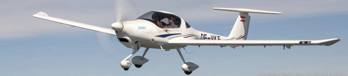
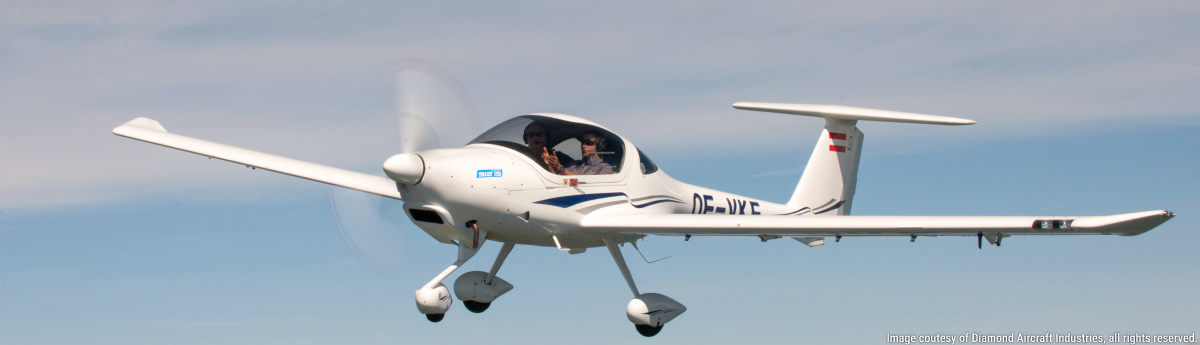
Mine actually has an additional piece to adjust the angle. It's incredibly versatile. I used to mount it to the tie down eye hooks on rental 172's, but I also use it on the thicker tie downs on my DA40. But a word of caution on the tail tie down for a DA40 - the oil vent tube will spray all the way back to the tail tie-down! So I learned very quickly to move it to the wing tie-down ;-) Should be much better centerline on DA42/62.
Mike (and others), if I'm transiting the Grand Canyon National Park VFR, can I cut across the SFRA at 14,500 MSL and higher (e.g. flying at 15,500 traveling NW to SE, or 16,500 traveling SE to NW)? While this is below FL180 top of the defined SFRA, it also is above the six "flight-fee zones", designated tour routes, and sight-seeing corridors.
If I'm already getting VFR flight following and talking to Los Angeles Center plus monitoring 120.05, is there any other action required prior to or during the transit?
Hi Paul,
This is the main part of the route I plan to fly in a couple of weeks to take in all of the Canyon. Coming from Sedona, hitting all the corridors along the way. Corridors are 11.5 and 13.5 MSL northbound, 10.5 and 12.5 southbound. The elevation decreases as you move to the west, so you can start high and descend as you move east to west.
This is really important now as the density altitude is really high (up to 4000-5000 ft above actual) so you need the margin. Also it gives you additional margin as the wind will give you significant downdrafts as you cross the leeward edges of the canyon. The AVOID label warns me of significant terrain on the north side of Zuni/Dragon transition. Also circled is the Kanab Creek section toward the west end which is a feeder to the Colorado and actually almost as good.
David: the corridor route you've shown is exactly the same one we flew last September at the lowest possible corridor altitudes (10.5K southbound, 11.5K northbound), as shown on the video we posted earlier in this thread. At those altitudes we had a smooth flight the entire way with no updrafts or downdrafts whatsoever.
Epic Aircraft E1000 GX
Former DA40XLS, DA42-VI, and DA62 owner
ATP, CFI, CFI-I, MEI